Shortly before embarking on the “series” of post I have been releasing here (the scenic drives and small towns), I had a couple of draft posts here in the que. The following is one of them.
As you know, I reach out to AI from time to time (all right, ALL the time!) as a tool for creating and formatting these posts as well as many of the images here. As I continue to plan this journey for the up and coming year, I have allowed myself to embrace these convenient applications to create a body of work that can be used as a sort of resource library for the journey.
I will shortly be pivoting from the planning and research phase to the actual documenting phase as the journey begins next month though! Looking forward to that I must admit 🙂

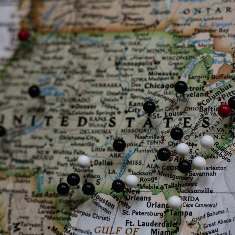
Back a couple of months ago whilst beginning the brainstorming process of how to segment this journey over the year of visiting all 50 states within the 60th year of my time on this planet, I reached out to ChatGPT to help me create a few options. I have since refined this and will share my plans in a post soon (perhaps tomorrow), but till then, here are a few options that I was presented with and considered.
The Four-Region Model:
- Northeast
- New England: Connecticut, Maine, Massachusetts, New Hampshire, Rhode Island, Vermont
- Middle Atlantic: New Jersey, New York, Pennsylvania
- Midwest
- East North Central: Illinois, Indiana, Michigan, Ohio, Wisconsin
- West North Central: Iowa, Kansas, Minnesota, Missouri, Nebraska, North Dakota, South Dakota
- South
- South Atlantic: Delaware, Florida, Georgia, Maryland, North Carolina, South Carolina, Virginia, West Virginia
- East South Central: Alabama, Kentucky, Mississippi, Tennessee
- West South Central: Arkansas, Louisiana, Oklahoma, Texas
- West
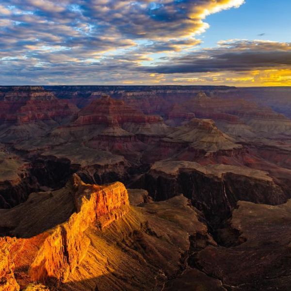
- Mountain: Arizona, Colorado, Idaho, Montana, Nevada, New Mexico, Utah, Wyoming
- Pacific: Alaska, California, Hawaii, Oregon, Washington
The Five-Region Model:
- Northeast
- New England: Connecticut, Maine, Massachusetts, New Hampshire, Rhode Island, Vermont
- Mid-Atlantic: New Jersey, New York, Pennsylvania
- Southeast
- Delaware, Florida, Georgia, Maryland, North Carolina, South Carolina, Virginia, West Virginia, Alabama, Kentucky, Mississippi, Tennessee, Arkansas, Louisiana
- Midwest
- East North Central: Illinois, Indiana, Michigan, Ohio, Wisconsin
- West North Central: Iowa, Kansas, Minnesota, Missouri, Nebraska, North Dakota, South Dakota
- Southwest
- Arizona, New Mexico, Oklahoma, Texas
- West
- Mountain: Colorado, Idaho, Montana, Nevada, Utah, Wyoming
- Pacific: Alaska, California, Hawaii, Oregon, Washington

The 12 Month-Region Model:
- Alaska
- Hawaii
- Pacific Northwest
- Washington
- Oregon
- Idaho
- Southwest
- California
- Nevada
- Arizona
- Utah
- Rocky Mountain
- Montana
- Wyoming
- Colorado
- New Mexico
- North Central
- North Dakota
- South Dakota
- Nebraska
- Kansas
- Midwest
- Minnesota
- Iowa
- Missouri
- Wisconsin
- Illinois
- Indiana
- Michigan
- Ohio
- Northeast
- Maine
- New Hampshire
- Vermont
- Massachusetts
- Rhode Island
- Connecticut
- New York
- Mid-Atlantic
- Pennsylvania
- New Jersey
- Delaware
- Maryland
- South Central
- Oklahoma
- Texas
- Arkansas
- Louisiana
- Southeast
- Mississippi
- Alabama
- Georgia
- Florida
- South Carolina
- North Carolina
- Tennessee
- Kentucky
- Appalachia
- West Virginia
- Virginia

The Best Times of the Year for Each State!
- Alaska
- Best Time: June to August (Mild weather and long daylight hours)
- Hawaii
- Best Time: April to June and September to November (Pleasant weather and fewer tourists)
- Pacific Northwest (Washington, Oregon, Idaho)
- Best Time: June to August (Dry and warm weather, great for outdoor activities)
- Southwest (California, Nevada, Arizona, Utah)
- Best Time: March to May and September to November (Milder temperatures, especially in desert areas)
- Rocky Mountain (Montana, Wyoming, Colorado, New Mexico)
- Best Time: June to September (Ideal for hiking and outdoor activities, snow sports in winter)
- North Central (North Dakota, South Dakota, Nebraska, Kansas)
- Best Time: May to September (Pleasant weather for exploring)
- Midwest (Minnesota, Iowa, Missouri, Wisconsin, Illinois, Indiana, Michigan, Ohio)
- Best Time: May to October (Mild weather, perfect for visiting the Great Lakes and outdoor activities)
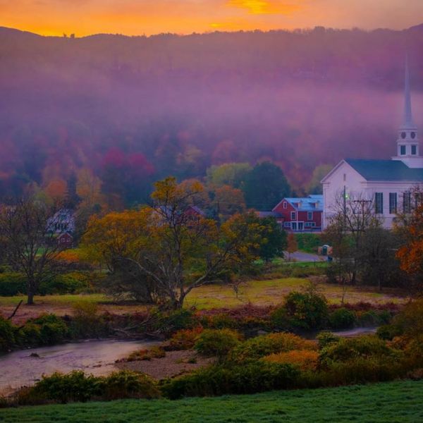
- Northeast (Maine, New Hampshire, Vermont, Massachusetts, Rhode Island, Connecticut, New York)
- Best Time: September to November (Fall foliage) and June to August (Warm weather)
- Mid-Atlantic (Pennsylvania, New Jersey, Delaware, Maryland)
- Best Time: April to June and September to November (Mild weather, fewer crowds)
- South Central (Oklahoma, Texas, Arkansas, Louisiana)
- Best Time: February to April and October to November (Avoiding the hot and humid summer)
- Southeast (Mississippi, Alabama, Georgia, Florida, South Carolina, North Carolina, Tennessee, Kentucky)
- Best Time: March to May and September to November (Warm weather, avoiding peak summer heat)
- Appalachia (West Virginia, Virginia)
- Best Time: September to November (Fall foliage) and March to May (Spring blooms)
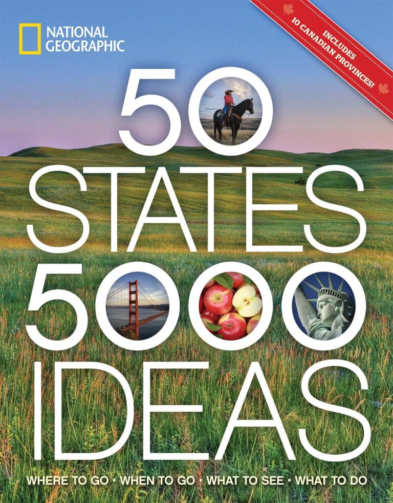
Again, I took all of this into account, but went with an approach I found in a book of scenic trips from National Geographic as my base plan. More on that soon!


As an Amazon Associate, I earn from qualifying purchases.